Wilderness
How to Navigate Without a Compass, Map, or GPS—and Avoid Drifting
If you need to navigate without a compass, map, or GPS, stop before you start guessing. Establish a rough direction from large, repeatable clues such as the ...
Quick answer
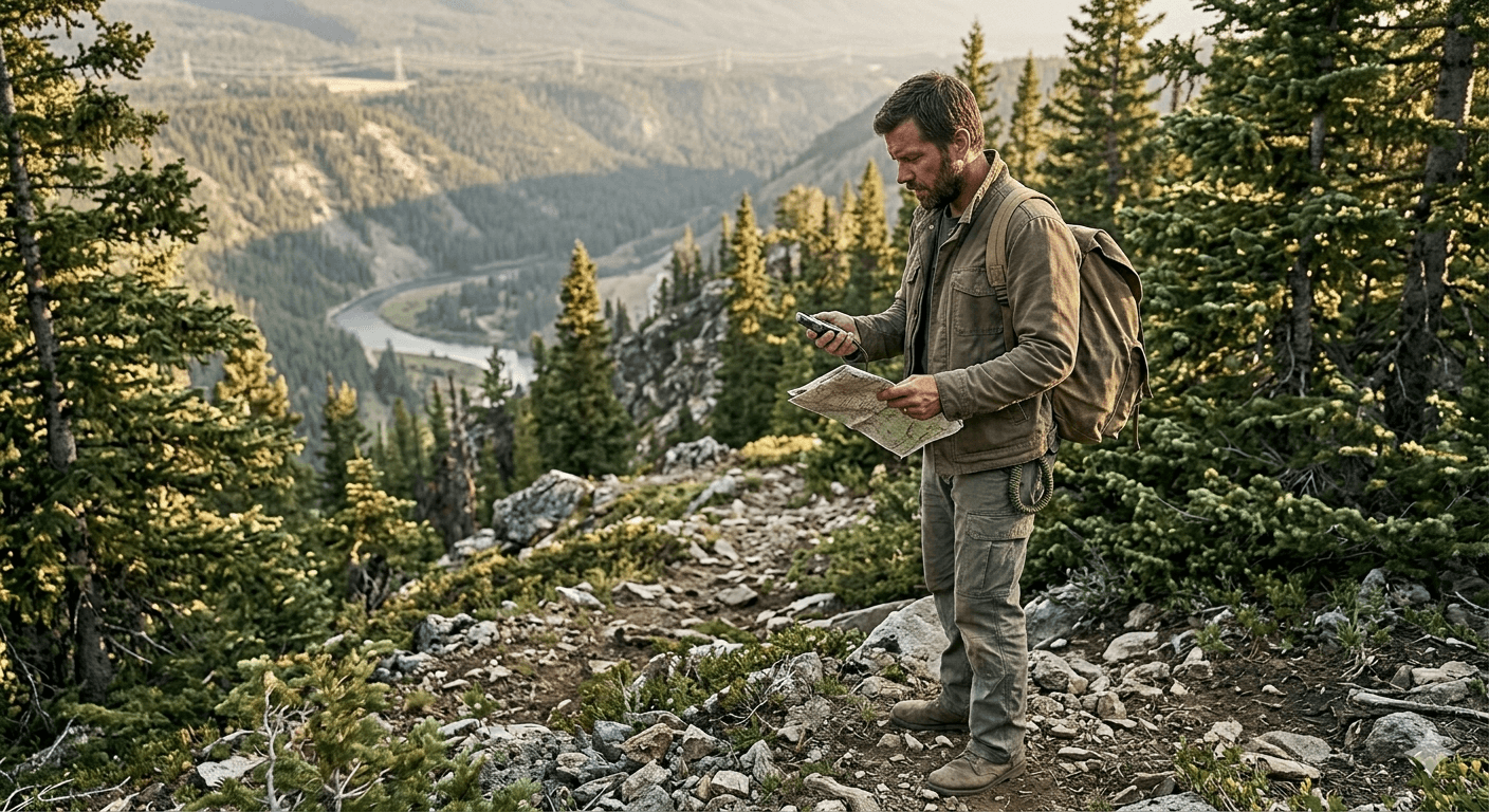
To navigate without a compass, map, or GPS, stop first and identify large direction clues such as the sun’s movement, slope, ridgelines, valleys, roads, rivers, or power lines. Pick a distant aiming point, walk to it, then reassess so gradual drift does not turn into a circle. Move only when the route is safer than remaining visible and waiting for help.
If you need to navigate without a compass, map, or GPS, stop before you start guessing. Establish a rough direction from large, repeatable clues such as the sun’s movement, terrain slope, ridgelines, valleys, roads, rivers, or power lines. Then move between visible aiming points and review your direction often so small drift does not become a circle.
Natural navigation is not a precision replacement for proper equipment. It is a fallback for staying oriented, recognizing drift, and deciding whether moving is safer than remaining visible and waiting for help.
Navigation also connects to communication: carry a plan for off-grid messaging, know what to do in the first 24 hours after getting lost, and avoid the overconfident solo mindset described in why lone-wolf survival fails.
The first mistake is walking too soon
When people realize they are unsure where they are, many of them react by speeding up. They want to “fix it” with movement. That is how direction turns into wandering.
Before you move, stop and build a rough picture. What was your last known reference point. What direction were you traveling before things got fuzzy. What major terrain features do you remember: road, river, ridgeline, town, power lines, coastline, slope. Even a half-right picture is better than walking blind.
If you do not have orientation, your first job is not distance. It is direction.
Start with the biggest clues around you
Natural navigation works best when you think big first. Ignore tiny details and look for major structure.
Terrain is often more useful than the sky. Water tends to collect in valleys. Ridgelines divide drainage. Roads, rail lines, fences, rivers, and power corridors often connect to people or infrastructure. If you know there is a highway east of you or a river south of you, that is already enough to shape your movement.
The mistake is focusing on the ground directly in front of your feet and losing the bigger pattern. People get trapped in circles because they navigate step by step instead of feature by feature.
Using the sun without getting fancy
The sun is the simplest navigation tool you already have, but only if you use it as a rough guide, not a precision instrument.
In the northern hemisphere, the sun rises generally in the east and sets generally in the west. Around midday it will sit roughly to the south. That is good enough for broad orientation. Morning sun helps you tell east from west. Afternoon sun helps you check whether you are still moving the direction you think you are.
You do not need to play scout games every ten minutes. Just stop occasionally and ask: based on the time of day, is the sun where it should be if I am actually heading the way I claim?
That one habit catches a lot of drift.
Night movement and the stars
If you must move at night, slow down and simplify. Night navigation is not the time for ambitious shortcuts.
In the northern hemisphere, Polaris gives you a dependable north reference. If you can find the Big Dipper, you can use the outer edge of its bowl to point toward Polaris. Once you have north, the rest of the compass directions fall into place.
But the bigger lesson is this: stars help with direction, not with terrain safety. Plenty of people hold a good bearing straight into a ravine, swamp, cliff band, or dead-end brush. If visibility is poor or footing is dangerous, staying put until first light may be smarter than forcing movement just because you found north.
Terrain tells you more than people think
The ground is constantly giving you information.
A slope tells you where water will run. A valley tells you where movement funnels. A ridgeline often gives better visibility and cleaner direction, though it can also expose you to weather or observers. Dense vegetation usually slows movement and hides smaller terrain traps. Open ground is easier to cross, but easier to be seen in.
If you are trying to reach people, moving downhill toward water or human-made corridors often makes sense. If you are trying to avoid people, those same corridors may be exactly what you should not follow. Direction is not enough by itself. You need direction tied to a goal.
How to navigate without a compass without drifting
Without a stable reference, people tend to curve gradually even when they believe they are walking straight. Uneven terrain, obstacles, visibility, fatigue, and stress can all introduce drift.
Choose a distant object on your intended line—a distinct tree, rock, saddle, building, or break in vegetation—and walk to it. At that point, stop and choose the next aiming point. In limited visibility, shorten each leg and reassess more often.
Review your direction against a second clue whenever possible: sun position and time of day, slope, drainage, a ridgeline, a road, or another known backstop. Short, deliberate corrections are safer than trusting your sense of direction over a long distance.
Use a deliberate bias, not random hope
If you know there is a road somewhere east, do not aim vaguely east and hope to bump into it. Bias your movement on purpose.
For example, if the road runs north-south and you know it lies somewhere east, angle slightly northeast or southeast on purpose so that when you hit it, you know which way to turn. This is basic handrailing logic. It is far better than striking the road somewhere with no idea whether the town you need is left or right.
A good navigator does not just seek contact. He tries to make the contact useful.
What to do in an escape scenario
Escape movement changes the priorities. The nearest road is not always the answer. The brightest area is not always safety. If you are moving to avoid danger, navigation becomes a trade between concealment, speed, and certainty.
In that situation, obvious terrain features still matter, but you may use them differently. A creek may guide you, but it may also leave tracks. A ridgeline may orient you, but also silhouette you. A road may lead to help, but also checkpoints or other people. The question is not only “where am I going” but “who else will be there.”
That is why terrain reading matters more than memorized tricks. Navigation is always tied to context.
When staying put is smarter
Sometimes the best navigation move is no movement at all.
If you are injured, visibility is collapsing, weather is turning bad, or you have no solid idea which direction improves your situation, forcing miles may only deepen the problem. A controlled stop lets you reassess, conserve energy, mark your location, and wait for better light or better thinking.
Getting lost usually becomes dangerous because small mistakes stack. Stopping breaks the stack.
The real skill
Navigation without a map or GPS is not about finding moss on trees or memorizing survival trivia. It is about staying oriented to the biggest truths around you: where the sun is, how the land is shaped, what direction solves your problem, and whether your movement still matches your plan.
Most people do not get lost because they lacked information. They get lost because they stopped checking reality against what they wanted to believe. The useful skill is not cleverness. It is course correction.
Editorial note
Natural navigation is an emergency fallback, not a precision substitute for a map, compass, GPS, trip plan, or signaling equipment. Terrain, weather, daylight, injury, and local hazards change the safest decision; when lost, remaining findable may be safer than attempting to walk out.
Article recap
- Stop before moving: establish your last known point, available daylight, hazards, and whether staying visible is safer.
- Without a compass, use large repeatable clues such as sun movement, terrain, ridgelines, valleys, roads, rivers, and known backstops.
- Prevent drift by walking between visible aiming points and reviewing your direction after each short leg.
- Treat sun and star methods as rough orientation tools, not precise bearings or permission to cross unsafe terrain.
- Carry proper navigation, signaling, lighting, clothing, water, and communication equipment so natural navigation remains a fallback.
Sources and further reading
- National Park Service: Ten Essentials — National Park Service, accessed Aug 2026
- Ready.gov: Make a Plan — Ready.gov, accessed May 2026
- NOAA Weather Radio — National Weather Service, accessed May 2026
Read next

Questions readers askFrequently asked questions
Stop first and establish a rough direction from large, repeatable clues such as the sun’s movement, terrain slope, ridgelines, valleys, roads, rivers, power lines, or a known backstop. Choose a distant aiming point, walk to it, then reassess rather than trying to hold a direction by feel. If you cannot establish a safer route, staying visible and waiting may be the better decision.
Stop, calm down, stay visible, mark your location, check battery and daylight, and think before moving. Wandering usually makes the problem worse.
Sometimes water leads to roads or settlements, but it can also lead to cliffs, canyons, private land, brush, or cold crossings. Use it as one clue, not a universal rule.
Comments
Leave a comment
No comments yet. Be the first to comment!