“Super El Niño” sounds like media hype, but the danger behind it is real. El Niño is a climate pattern driven by unusually warm water in the central and eastern tropical Pacific, and it can shift rainfall, storm tracks, drought, flooding, heat, and wildfire risk across huge parts of the world. NOAA describes El Niño as a coupled ocean-atmosphere pattern with global weather consequences, and WMO notes that ENSO events can help predict hazards like heavy rain, floods, and drought months ahead.
The first thing to understand is that “super El Niño” is not the official term that should drive your planning. Official agencies talk about El Niño, La Niña, and ENSO-neutral conditions, and they track sea-surface temperature anomalies in the Niño 3.4 region over time. NASA notes that El Niño is declared when temperatures stay more than 0.5°C above the long-term average for five consecutive months.
What people usually mean by “super El Niño” is an exceptionally strong El Niño, the kind associated with broader and more intense disruption. NOAA research notes that extreme El Niño and La Niña events may become more frequent in a warming climate, which is one reason the term keeps resurfacing in headlines.
Why this matters in survival terms
A strong El Niño does not create one neat disaster. It reshuffles the map. Some places get flooding, landslides, and infrastructure damage. Other places get drought, crop stress, and elevated wildfire danger. NOAA explains that El Niño affects North America mainly in winter by shifting and intensifying the jet stream, which can bring wetter conditions to the southern US while leaving parts of the northern US and Canada warmer and drier. NASA and WMO both stress that these ocean changes can cascade into global rainfall and temperature changes.
That is why El Niño belongs on a preparedness site. It is not just a weather story. It is a logistics story. Floods damage roads and water systems. Drought strains reservoirs and agriculture. Heat raises power demand. Wildfire risk grows in some regions after prolonged dryness. Food and utility bills can climb at the same time your local resilience drops.
What is actually happening now
Right now, the official picture is not “super El Niño is here.” The latest WMO update says there is a 60% chance of ENSO-neutral conditions during March to May 2026, a 30% chance of La Niña continuing, and only a 10% chance of El Niño developing in that same period. WMO also said in early March that neutral conditions are expected as the recent weak La Niña fades, though El Niño chances rise later in the year.
So the practical takeaway is simple: do not prepare because of the hype word “super.” Prepare because strong ENSO swings are real, they are forecastable to a degree, and they can amplify exactly the kinds of stress that turn an ordinary season into a bad one.
The three survival pressures El Niño can create
The first is water trouble. In one region that means too much water, too fast: flooding, runoff contamination, washed-out roads, mold, and sewage problems. In another region it means too little: reservoir pressure, stricter water use, crop losses, and higher wildfire danger. The same climate pattern can produce opposite survival problems depending on where you live.
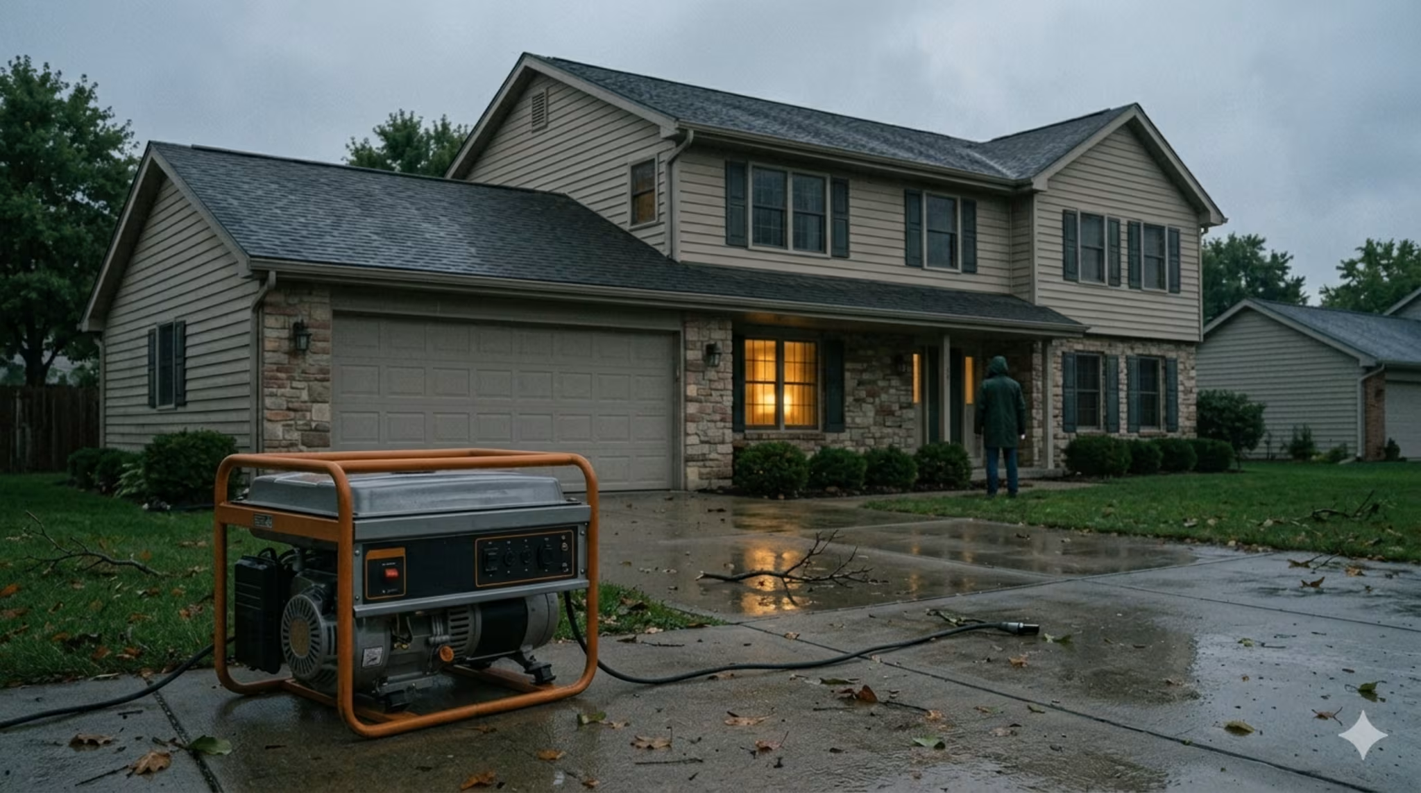
The second is power instability. Heat waves, storm damage, and grid stress do not need to become total collapse to hurt you. A few outages during extreme weather are enough to spoil food, cut communications, and create medical risk for vulnerable households.
The third is price pressure. When agriculture, transport, and energy systems take repeated hits, households feel it in groceries, insurance, and utilities long before they call it a crisis.
What to do as a household
You do not need a climate model. You need a local impact mindset.
If your area is more likely to get heavier rain and flooding, prepare for water intrusion, power cuts, and short-notice evacuation. If your area is more likely to get heat, drought, and fire risk, prepare for water discipline, smoke, and the possibility of leaving early rather than late.
This is where climate planning turns into normal preparedness. Flood-prone households should review water disruption planning, while fire-prone households should pair seasonal outlooks with a 20-minute wildfire evacuation plan before warnings are already on the phone.
A strong baseline works for both:
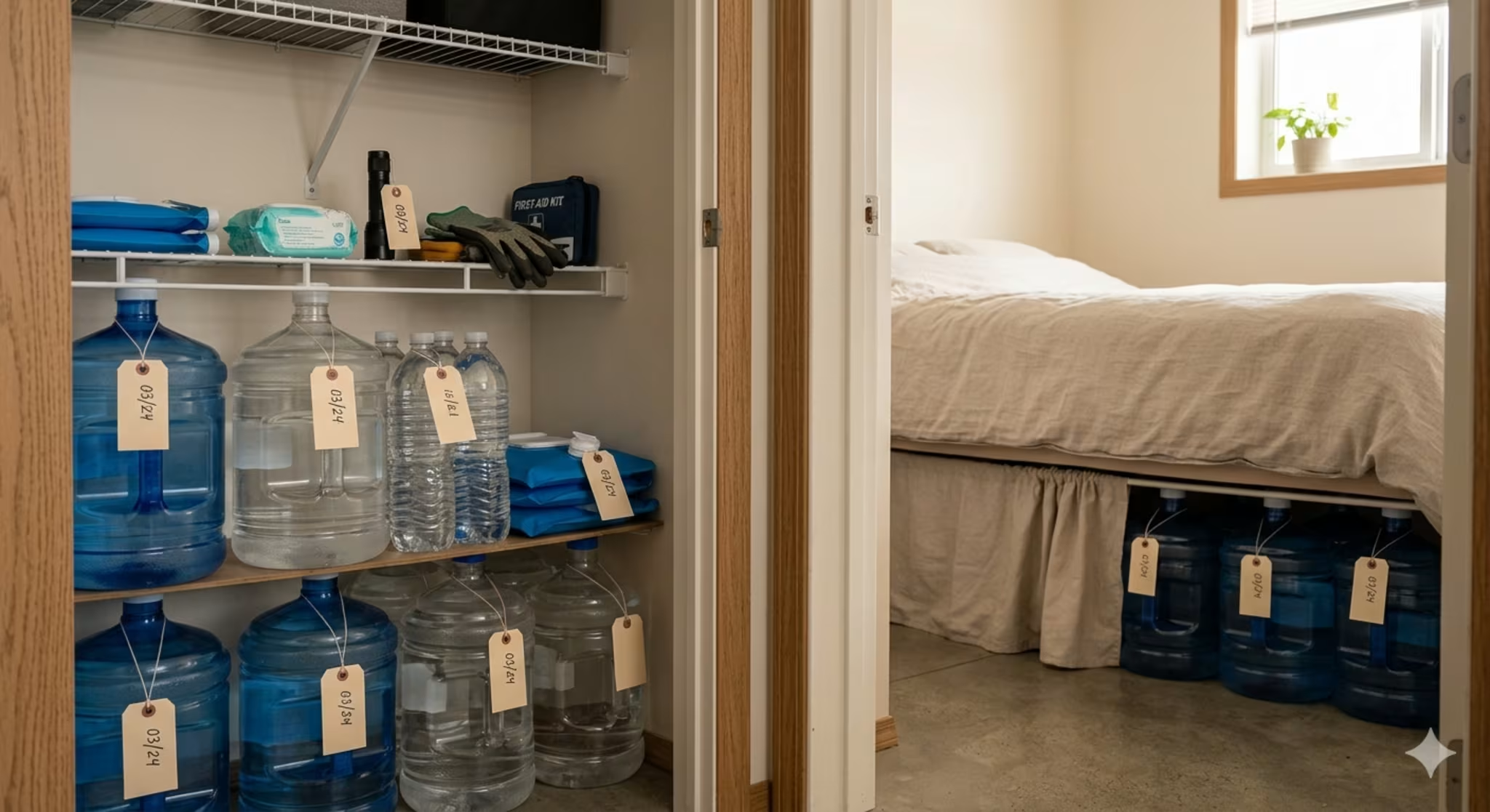
keep a 72-hour water and food buffer
protect important documents and electronics from water damage
maintain backup lighting and phone charging
know whether your household is more flood-vulnerable or fire-vulnerable
follow seasonal forecasts from official agencies, not viral posts
The bottom line
Super El Niño is not a magic disaster button. It is a warning label for a climate pattern that can push normal systems out of balance. The smart move is not panic and not denial. It is to assume that a strong El Niño year can make your local weak point weaker, whether that weak point is floodwater, drought, wildfire, crop stress, or power reliability.
If you prepare for the local consequence instead of the dramatic label, you will be ahead of most people.